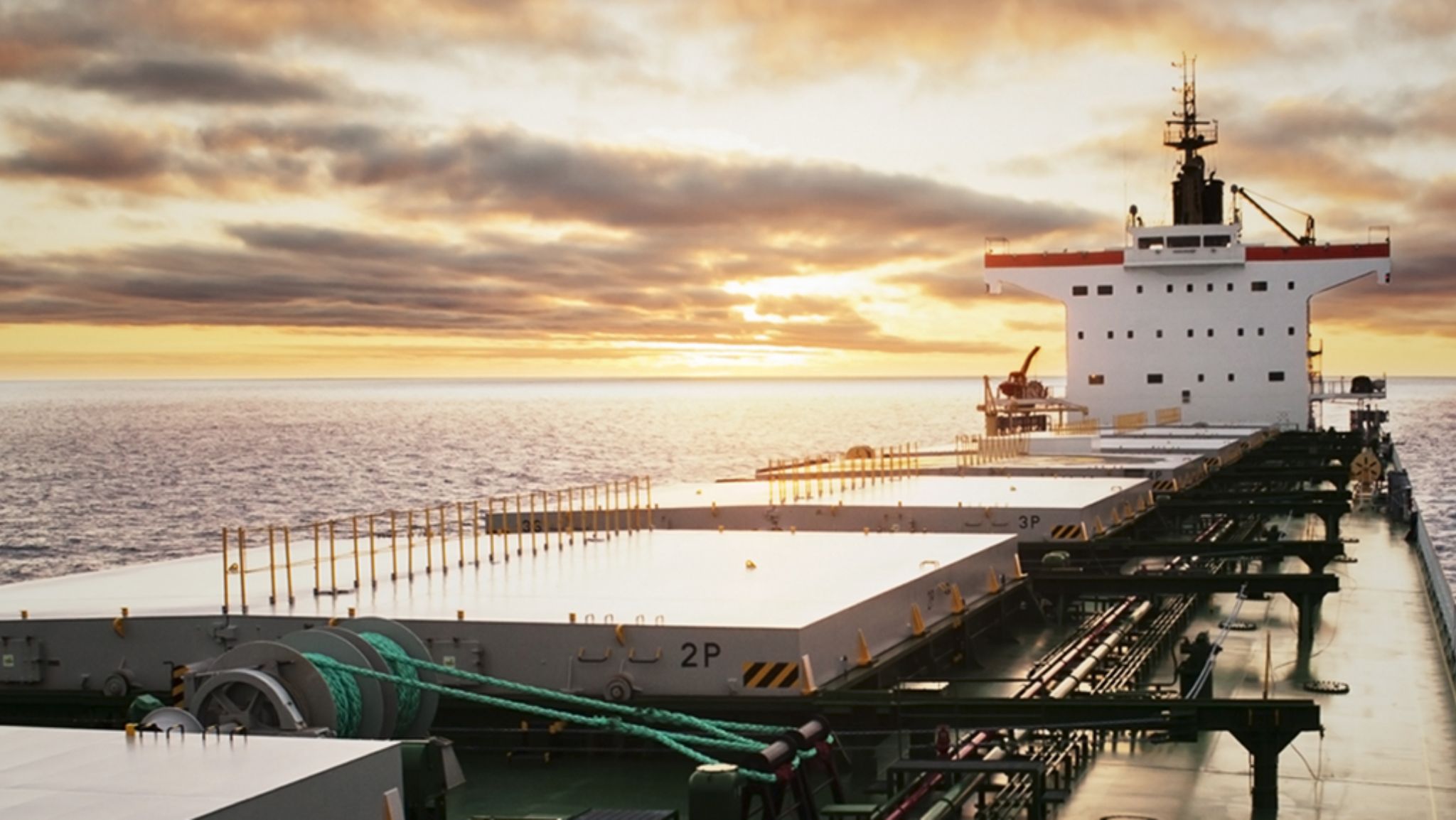
Overview
We provide comprehensive hydrographic and geophysical survey services to support safe navigation, coastal development, dredging activities, and offshore infrastructure projects.
Using advanced survey equipment and proven methodologies, our experienced team delivers accurate seabed, sub-surface, and oceanographic data in full compliance with international hydrographic and marine survey standards.
Our capabilities include bathymetric surveys, seabed imaging, sub-bottom profiling, current and tide measurements, and detailed 3D seabed modelling. From pre- and post-dredging assessments and cable or pipeline route surveys to inspection of jetties, piers, and offshore structures,
we supply reliable data that enables informed planning, risk mitigation, and efficient project execution in complex marine environments.
Multibeam & Single Beam Echo Sounding
We provide precise hydrographic surveys using advanced multibeam and single-beam echo-sounding technology to map seabed profiles and underwater topography. These surveys deliver accurate depth measurements and detailed bathymetric data essential for port development, dredging projects, and offshore operations. Our team ensures high-quality results with strict adherence to international standards for marine surveying.
Side Scan Sonar & Sub-Bottom Profiling
We offer advanced side scan sonar and sub-bottom profiling services to deliver high-resolution imaging of the seabed and detailed analysis of sub-surface layers. These techniques are essential for identifying underwater features, detecting hazards, and assessing sediment composition for construction, dredging, and offshore projects. Our surveys provide accurate data to support safe and efficient marine operations.
ADCP Current & Tide Measurements
We provide accurate current and tide measurement services using Acoustic Doppler Current Profilers (ADCP) to monitor water movement and tidal patterns. These measurements are critical for port operations, coastal engineering, and offshore projects, ensuring safe navigation and efficient planning. Our team delivers reliable data for environmental assessments and operational decision-making.
Seabed Mapping and 3D Modelling
We deliver high-precision seabed mapping and 3D modelling services to create detailed representations of underwater terrain. Using advanced hydrographic and geophysical technologies, we provide accurate data for port development, dredging, offshore construction, and environmental studies. Our 3D models enable better planning, risk assessment, and decision-making for complex marine projects.
Pre- and Post-Dredging Surveys
We conduct precise pre- and post-dredging surveys to assess seabed conditions before dredging and verify results after completion. Using advanced hydrographic technologies, we provide accurate depth measurements and volume calculations to ensure compliance with project specifications. These surveys help optimise dredging operations, reduce costs, and maintain safe navigation channels.
Cable & Pipeline Route Surveys
We provide specialized cable and pipeline route surveys to ensure safe and efficient installation of subsea infrastructure. Using advanced geophysical and hydrographic techniques, we identify optimal routes, detect potential hazards, and assess seabed conditions. Our detailed survey data supports accurate planning and minimizes risks for >telecommunication, energy, and utility projects.
Jetty, Pier & Offshore Structure Inspection
We provide comprehensive inspection services for jetties, piers, and offshore structures , ensuring structural integrity and operational safety. Our team uses advanced underwater and topside techniques, including visual inspections, NDT testing, and CCTV surveys, to detect damage, corrosion, or wear. These inspections help maintain compliance, extend asset life, and reduce costly downtime for marine facilities.